The term “Nagorno-Karabakh”, which points to the mountainous part of Karabakh, an integral part of Azerbaijan, obtained a political meaning at the end of the First World War.
The representative of the South Caucasian country committee in Nagorno-Karabakh (NK), S.Shadunts, Armenian), wrote (December 20, 1922): “… so emerged a new term created by the Dashnaks: Nagorno-Karabakh. After their victory over power in Armenia, the Dashnaks re-launched struggle over Nagorno-Karabakh.” The struggle continued even after the Sovietization of Armenia and led to establishing an autonomous province in the historical territory of Azerbaijan.
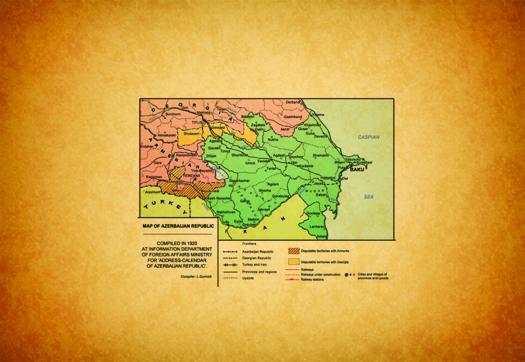
How was the territory of the so-called Nagorno-Karabakh plucked from the geographical Nagorno-Karabakh formed? To answer this question, one should have thorough knowledge on the territory of Karabakh first. In his book “History of Karabakh” M.J.Javashir (1773-1853) wrote: “According to ancient sources, Karabakh has following borders: the Araz River from Khudaferin Bridge to Sinig Korpu Bridge on the south. Currently, (Sinig Korpu Bridge) lies between Shamsaddin and Demirchi-Hasanli communities of Kazakh…On the east is the Kura River, which flows into the Caspian Sea. On the north is the Goran River that reaches Elizavetpol (present-day Ganja). On the west are high Karabakh mountains.” (Karabakh-name. vol. 1, Baku – 1989). Abolished in 1822, the Karabakh khanate became a province. Printed in St. Petersburg in 1836, Obozrenie reported about the boundaries and territory of the Karabakh province (13,000 sq.verst), informed that the significant part of the territory is covered by mountains (Обозрение Российских владений за Кавказом. ч. III СПб., 1836 – Obozrenie Rossiyskix za Kavkazom territories. P. III, SPb – 1836). In his article titled “Caucasian crisis”, A.Skibitsky, the son of the famous Caucasus researcher M.A.Skibitsky: “…the entire mountainous part of Karabakh khanate was called Nagorno-Karabakh. The area included Karabakh mountain range to the east, the lands in between the Zangazur mountains to the west, as well as Karabakh plateau separating Upper Karabakh and Lower Karabakh.” (Скибицкий А. Карабахский кризис// Союз, 1991, N 7 – Skibitsky A. Karabaxskiy crisis / / Soyuz , 1991 , N 7). Karabakh was exposed to different administrative divisions within Tsarist Russia and its territorial integrity was violated. Restoring the integrity was possible only during the existence of the Democratic Republic.
However, with the establishment of the Nagorno-Karabakh Autonomous Oblast (the entity was officially named so under the decree dated July 7, 1923, of the Central Executive Committee of Azerbaijan), the area`s integrity was violated again and firmly. NKAO was formed on a voluntary principle, not on scientific and geographical basis. In other words, the entity was established by uniting Armenian-dominated local settlements as an autonomy (It should be noted that such a principle would allow to form any possible administrative and political entities of migrant population in many countries and big cities. For instance, one can demand autonomy for the Chinese or Japanese population living in New York). Some villages, namely Agdaban that had belonged to Kalbajar and Yukhari Veyselli that belonged to Fuzuli remained within NKAO, administrative subordination was changed. According to the decision (dated July 1923) of the commission working on NKAO`s Statute, more than 170 settlements were put under NKAO authorities. The 1924 data of the Azerbaijan Central Statistical Office reported over 200 settlements (Азербайджанская селъско–хозяйственная переписъ 1921 г. т.III.впы. XVII. Баку, 1924), while G.Kocharyan 215 settlements (Кочарян Г.А. Нагорный Карабах Баку, 1925). It proves that Nagorno-Karabakh`s territory was virtually increased at the expense of additional settlements.
Thus, it becomes apparent that the concept “Nagorno-Karabakh” has a unique and complicated history matched to the separatist policy of the Armenians:
1) The concept was created by the Dashnaks;
2) It was deliberately formed on the basis of the Armenian-dominated areas, not on the basis of the geographical Mountainous Karabakh;
3) It was introduced as a separate country (it is no coincidence that Mountainous Karabakh is referred to as Nagorno-Karabakh in international documents);
4) Attempts of politicization and Armenianization have been intensive and so on.
Prof. Karim Shukurov
Doctor of Historical sciences






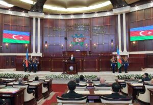 Inauguration ceremony of President of Azerbaijan Ilham Aliyev was held
 Ilham Aliyev wins presidential election with 92.05 percent of votes VIDEO
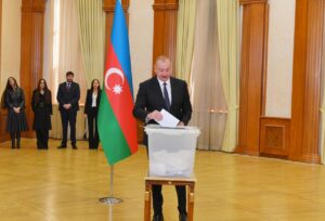 President Ilham Aliyev, First Lady Mehriban Aliyeva and family members voted in Khankendi VIDEO
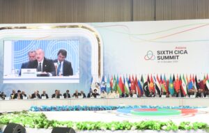 Plenary session of 6th Summit of Conference on Interaction and Confidence Building Measures in Asia gets underway in Astana. President Ilham Aliyev attends the plenary session VIDEO
 President Ilham Aliyev was interviewed by Azerbaijani TV channels in Prague VIDEO


