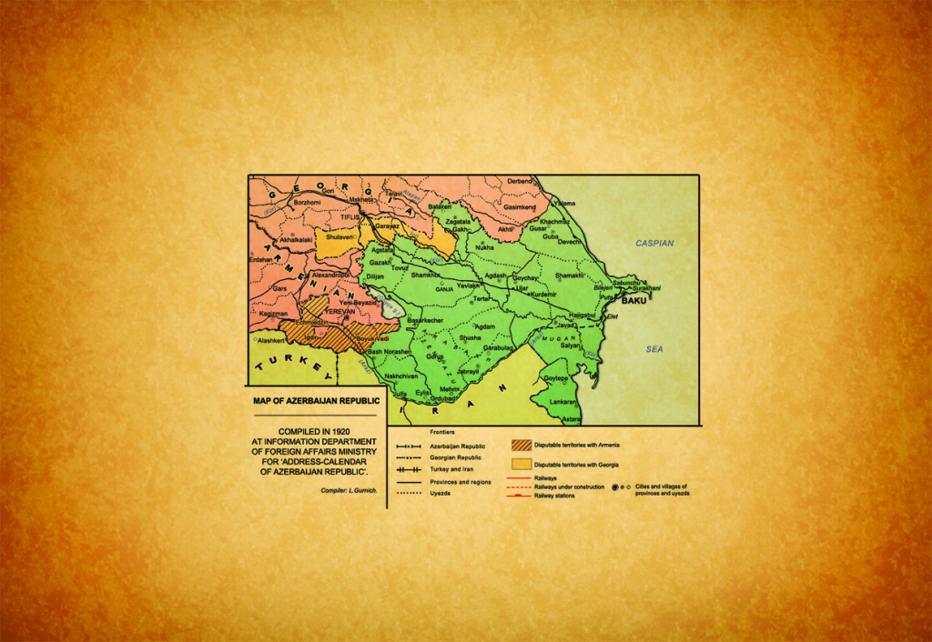
Zangilan district – Administrative district in the Republic of Azerbaijan. It was established in 1930. Situated in the southern-east of Lesser Caucasus and left Shore of Aras River. The district is bordered with the Republic of Armenia in the west and northern-west, the Islamic Republic of Iran in the south and southern-east. Area is 707 km², population is 37,4 thousands of people (01.01.2006). Center is Zangilan town.
The district is consisted of Zangilan town, Agh Oyug, Minjivan, Bartaz, Aghband, Hakari, Sharikan settlements, and Malatkeshin, Genlik, Beshdaly, Kechikly, Bartaz, Gargulu, Ordakly, Garagoz, Garadara, Chopadara, Baharly, Sobu, Dallakly, Razdara, Kollugishlag, Satariz, Mashadiismayilly, Zangilan, Ichari Mushlan, Malikly, Girag Mushlan, Malikly, Girag Mushlan, Udgun, Yenikand, Raband, Saril, Khumarly, Hajally, Sharifan, Mughanly, Khurama, Mammadbayly, Babaly, Zarnaly, Havaly, Ashaghi Yemazly, Orta Yemazly, Yukhari Yemazly, Sarili Khashtab, Guyudara Khashtab, Isgandarbayly, Aghbiz, Aghakishilar, Vejnaly, Mughanly, Aladin, Dara Gilatagh, Shamly, Mirzahasanly, Burunlu, Seyidlar, Shayifly, Garagol, Najaflar, Yusiflar, Taghly, Jahangirbayly, Turabat, Tiri, Valigulubayly, Aghkand, Amirkhanly, Gazanchy, Janbar, Gungishlag, Daraly, Birinji Aghaly, Ikinji Aghaly, Uchunju Aghaly, Yukhary Gayaly, Sarigishlag, Birinji Alibayly, Ikinji Alibayly, Boyuk Gilatagh, Vanandly, Ashagy Goyaly, Shafibayly, Pirveysly and Kosagan villages.
Relief of the district is mountainous in the west and plain in the east.
Minerals: building stones, lime raw material, gold, black marble and etc. Climate is mainly dry mild hot. Average temperature is 1 °C in January and 25.3°C in July. Annual rainfall is 400-500 mm. Rivers (Hakari, Okhchu and etc) belong to the Aras basin. Soil id chestnut, gray, and brown. Dry desert, mountinous xerophytes plants, shrubberries, broad-leaved forests ( oak, hornbeam and etc.) are characteristic for the district.
Animals: roe, wild boar, bear, fox and etc.
Birds: turaj, patdridge and etc.
Grape growing, tobacco-cultivation, vegetable-growing and cattle-breeding are developed areas of the economy. There are 2 wine mills, bread factory, cannery, 2 textile plant, sewing, marble and lime workshops in the district.
There are 39 high schools, 3 seven-years music school, history musem, 1 library, central hospital, 4 village hospital, 4 medical attendant points, and railway hospital in Zangilan.
Round tower (14th century), tomb (1305-05), vicegerents (13-14th centuries) and etc. are main parts of the histocial-architectural monuments.
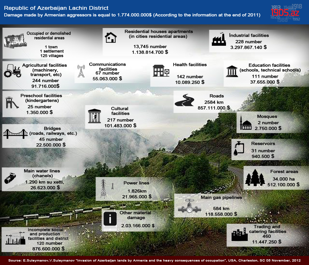
On 29-30 October, 1993 the district was occupied by Armenian armed forces.
Azerbaijan National Encyclopedia. 25 volumes, “Azerbaijan” volume, Baku, 2007, pg.875 ( in Azerbaijani)







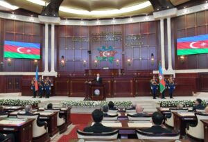 Inauguration ceremony of President of Azerbaijan Ilham Aliyev was held
 Ilham Aliyev wins presidential election with 92.05 percent of votes VIDEO
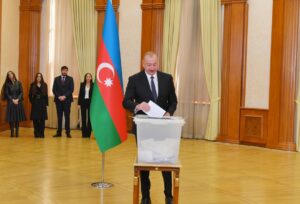 President Ilham Aliyev, First Lady Mehriban Aliyeva and family members voted in Khankendi VIDEO
 Plenary session of 6th Summit of Conference on Interaction and Confidence Building Measures in Asia gets underway in Astana. President Ilham Aliyev attends the plenary session VIDEO
 President Ilham Aliyev was interviewed by Azerbaijani TV channels in Prague VIDEO


